MapSwipe
Short Description: mobile app developed for the Missing Maps Project to enable fast satellite image classification on mobile devices
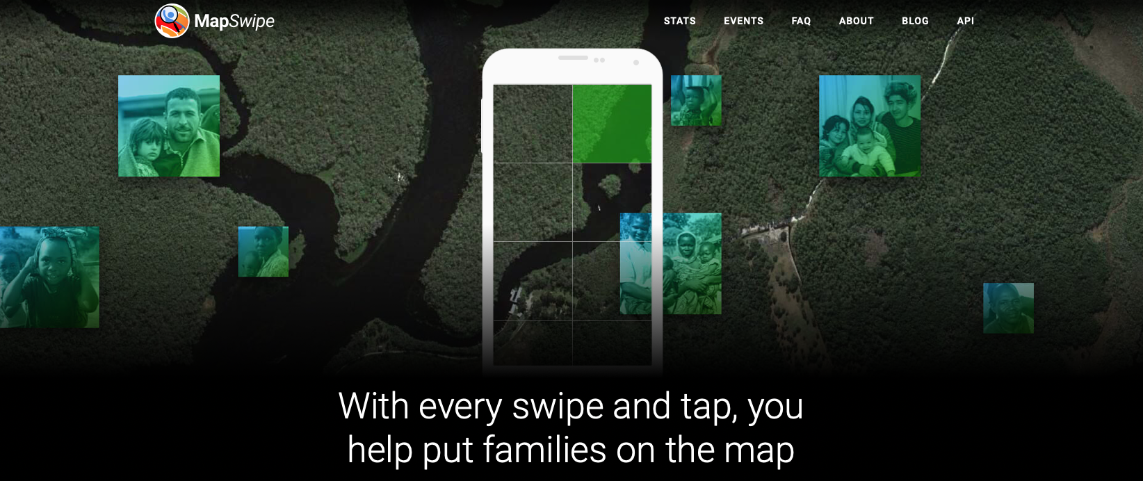
Description: mobile app developed for the Missing Maps Project to enable fast satellite image classification on mobile devices Missing Maps Project aims to proactively map the places in the world where the most vulnerable people live before a crisis happens and create high-quality geographical data that is freely accessible and available to everyone Tools: - a mobile app that lets you search satellite imagery to help put the world's most vulnerable people on the map. join a project, and swipe through satellite imagery while tapping the features you spot. The tiles you mark will become to the base layer of detailed maps drawn by other volunteers - join emergency response efforts led by the Humanitarian OpenStreetMap Team (HOT) when an active crisis arises - contribute to this mission by laying down the first layer of the map from the comfort of your own phone
Web Site : https://mapswipe.org
Organisations interested to contribute or already contributing:
Organisations using or interested to use the resource:
Contributor:
Tags: Humanitarian OSM, Collaborative Mapping
Category:
Theme: Open Street Map OSM, Africa
Referent:
Challenge addressed:
Key persons:
Other common:
Communauty of interest: Communauté des acteurs en Afrique
Type of common:
Produced in the field of OpenChallenge?
Level of developpment
Chat Space to discuss: [1]
Mailing list:
Task management link:
File management link:
Needs:
Complement:
Next step:
Others informations:

 Français
 English
 Italiano