Aequilibrae
AequilibraE is the first comprehensive Python package for transportation modeling
AequilibraE and its GUI are integrated directly into QGIS
- Easy to use and easy to learn with its Graphical User Interface
- Every data (GIS or non GIS) can be imported and used for calculation
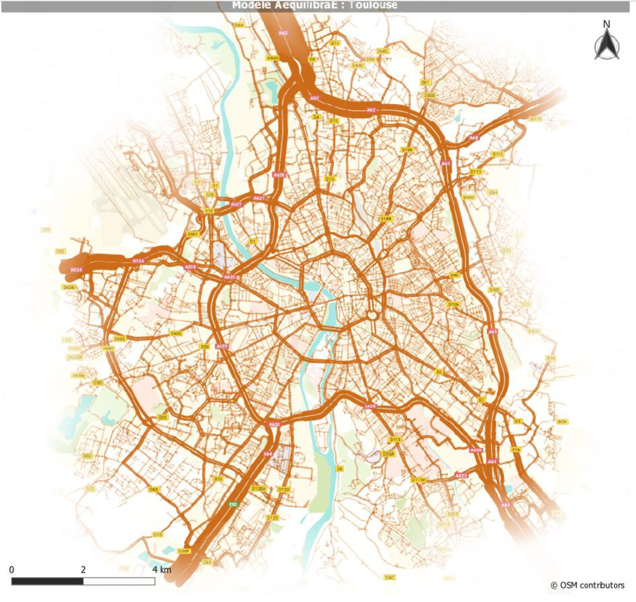
- Aesthetic maps directly produced in QGIS
Completely open source and documented
- All calculations, equations and algorithms are sourced and verifiable
- Everything is easily customizable or modifiable to adapt to specific needs and constraints
Plugin on QGIS : https://plugins.qgis.org/plugins/AequilibraE/
Documentation : https://www.aequilibrae.com/qgis/V.0.6.1/#
Organisations utilisatrices ou intéressées pour utiliser la ressource :
Contributeur(s) : Alex Bourreau
Tags : modelisation, modelisation trafic, FabMob2022
Catégories : Logiciel, Connaissance
Thème : Données ouvertes, Traces de mobilité et des données associées, Urbanisme et ville, Logiciel Libre, Collectivité
Référent : Arthur Evrard
Défi auquel répond la ressource : Accompagner une collectivité à ouvrir un maximum de ressources et construire un kit d'aide à l'innovation, Augmenter les connaissances partagées en cartographie et usages des véhicules et réseaux de transports
Personnes clés à solliciter :
Autre commun proche : SUMO, MAT Sim, Diagnostic Mobilité
Richesse recherchée : Expérimentation, Cas d'usages, Contributeur - Communauté, Financement
Compétences recherchées : Information
Communauté d'intérêt : Communauté du Logiciel Libre, Communauté des Territoires et Collectivités
Type de licence :
Conditions Générales d’Utilisation (CGU) :
Niveau de développement : Disponible et validé
Lien vers l’outil de gestion des actions :
Lien vers l’outil de partage de fichiers :
Besoins :
Prochaines étapes :
Documentation des expérimentations :
Autres informations
Liste des acteurs qui utilisent ou souhaitent utiliser ce commun : aucun pour le moment
Liste des CR d’atelier en lien avec ce commun :

 Français
 English
 Italiano